Evacuation Concerns

Both 2007 & 2014 Fires Closed Twin Oaks
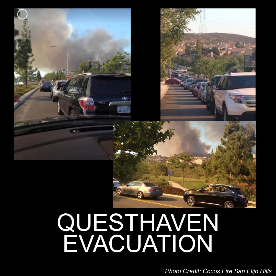
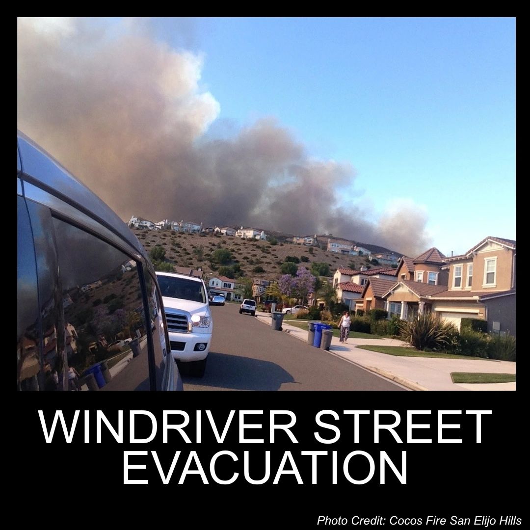
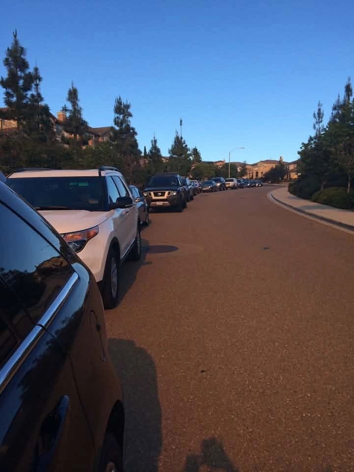
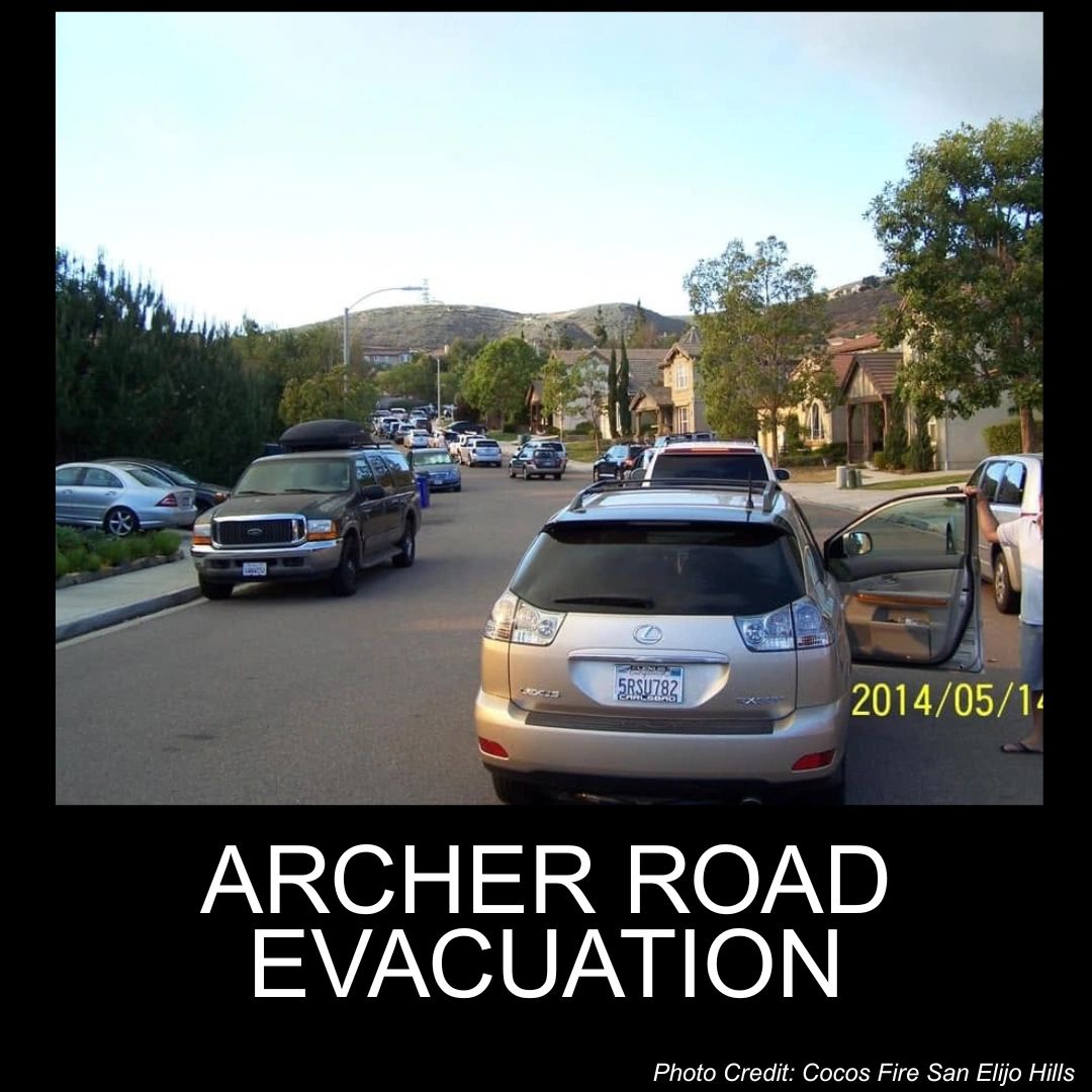
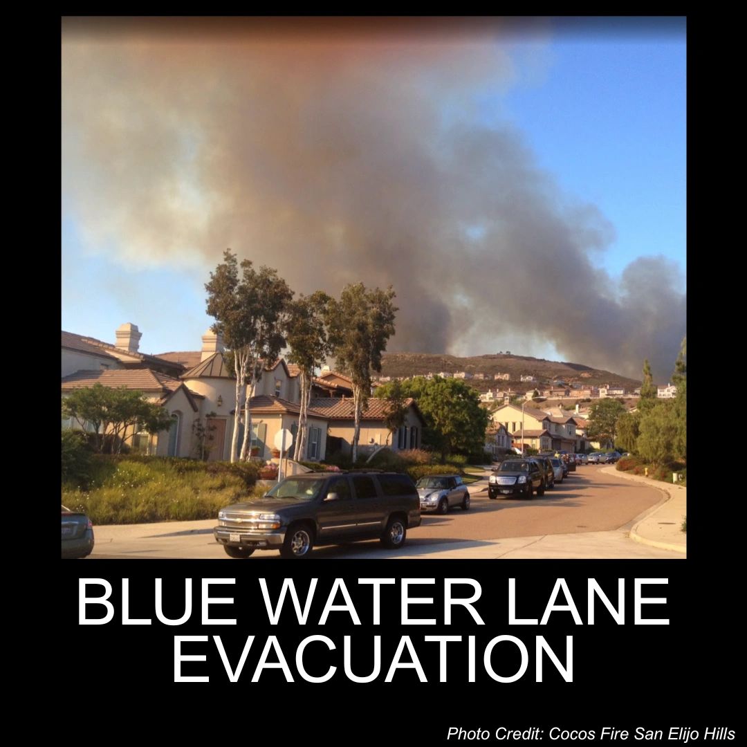
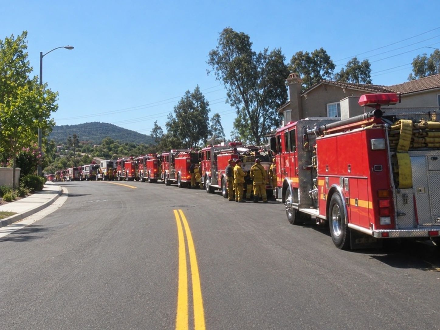
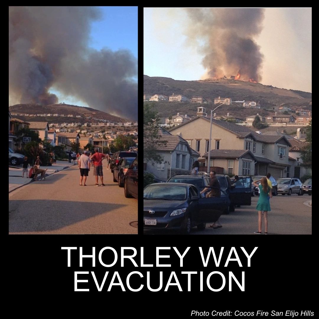
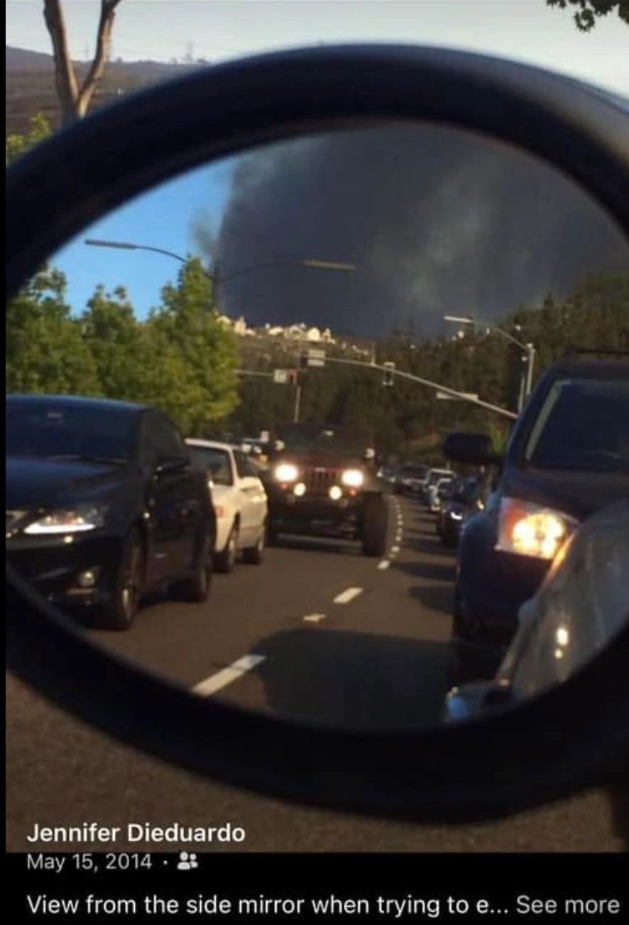
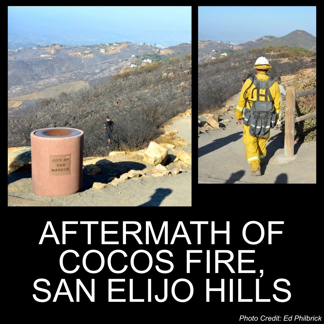
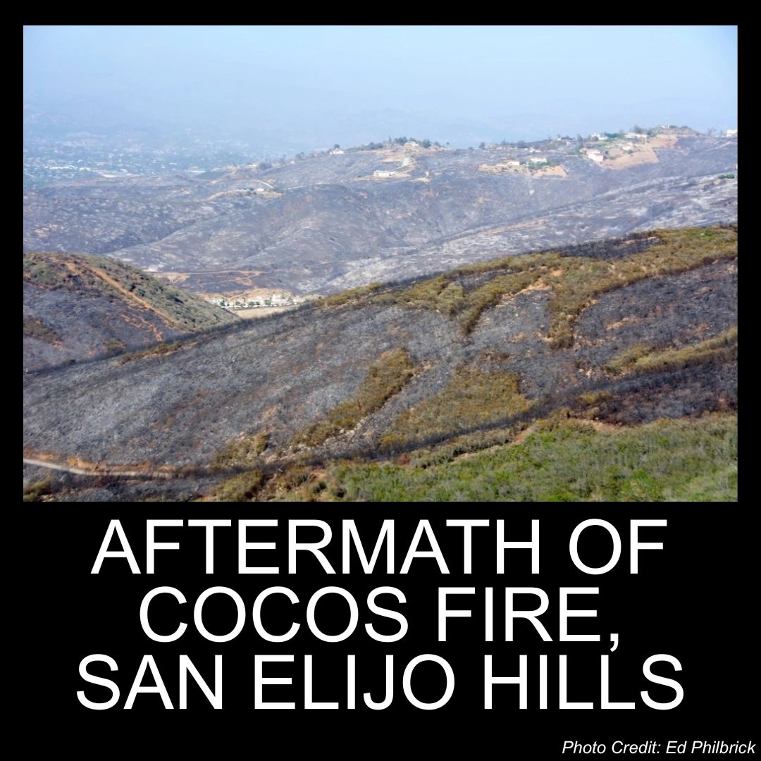
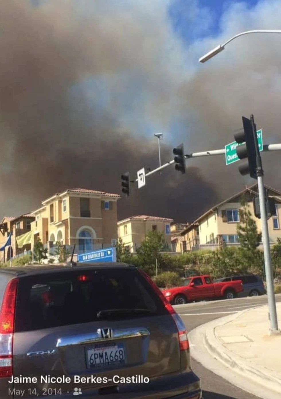
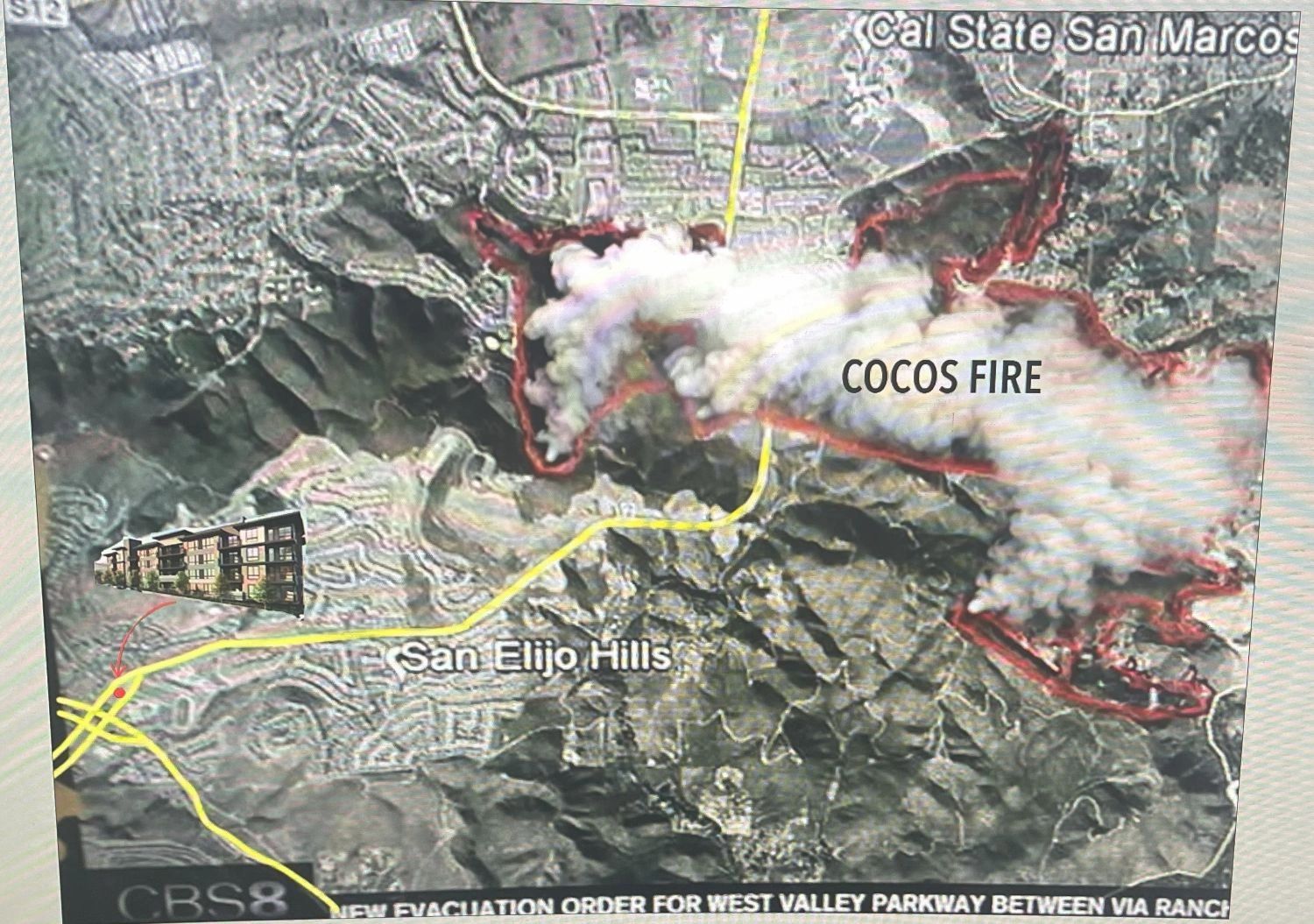
During each of these fires, the community evacuated through only one route . . . San Elijo Road West to Rancho Sante Fe Road, because Twin Oaks Valley was cut off by fire and embers as the fires approached. The 2014 Cocos Fire cut off Twin Oaks in less than an hour after the fire was first spotted, leaving little time to respond. Residents experienced 3+ hours to evacuate with traffic backed up along San Elijo Road beyond Questhaven Road and along many of the connecting feeder roads

Coordination Improvements, But No Physical Improvements
Our City Fire Department and Emergency Responders have worked to improve evacuation coordination, including the implementation of the Genysis System. Plus, our local SEH Fire Safe Council is helping to educate and prepare our community for wildfires. Click here for the SEHFSC website for information. But still the physical limitation of our roads are the bottleneck. There simply are not enough lanes to evacuate all the cars when one of our main evacuation routes is cut off.

Our Ask: City Leaders Please Create Detailed Evacuation Plans for the 2-3 Most Probable Fire Scenarios
Other local communities like Carlsbad have created detailed evacuation scenarios. Our San Elijo Hills is almost 100% categorized as Very High Fire Severity Zone (the highest severity). We know where the most probable wildfires will come from based on fire history. They will come from the East and Northeast, just like the 1996 Harmony Grove, 2007 Coronado Hills, 2014 Cocos Fire. Add in the 1988 and 1994 fires in Questhaven Hills, then 80% of the historical fires over the past 40 years which threatened or burned sections of San Elijo Hills emanated from the East or Northeast. Click here to view San Diego County Fire History Maps